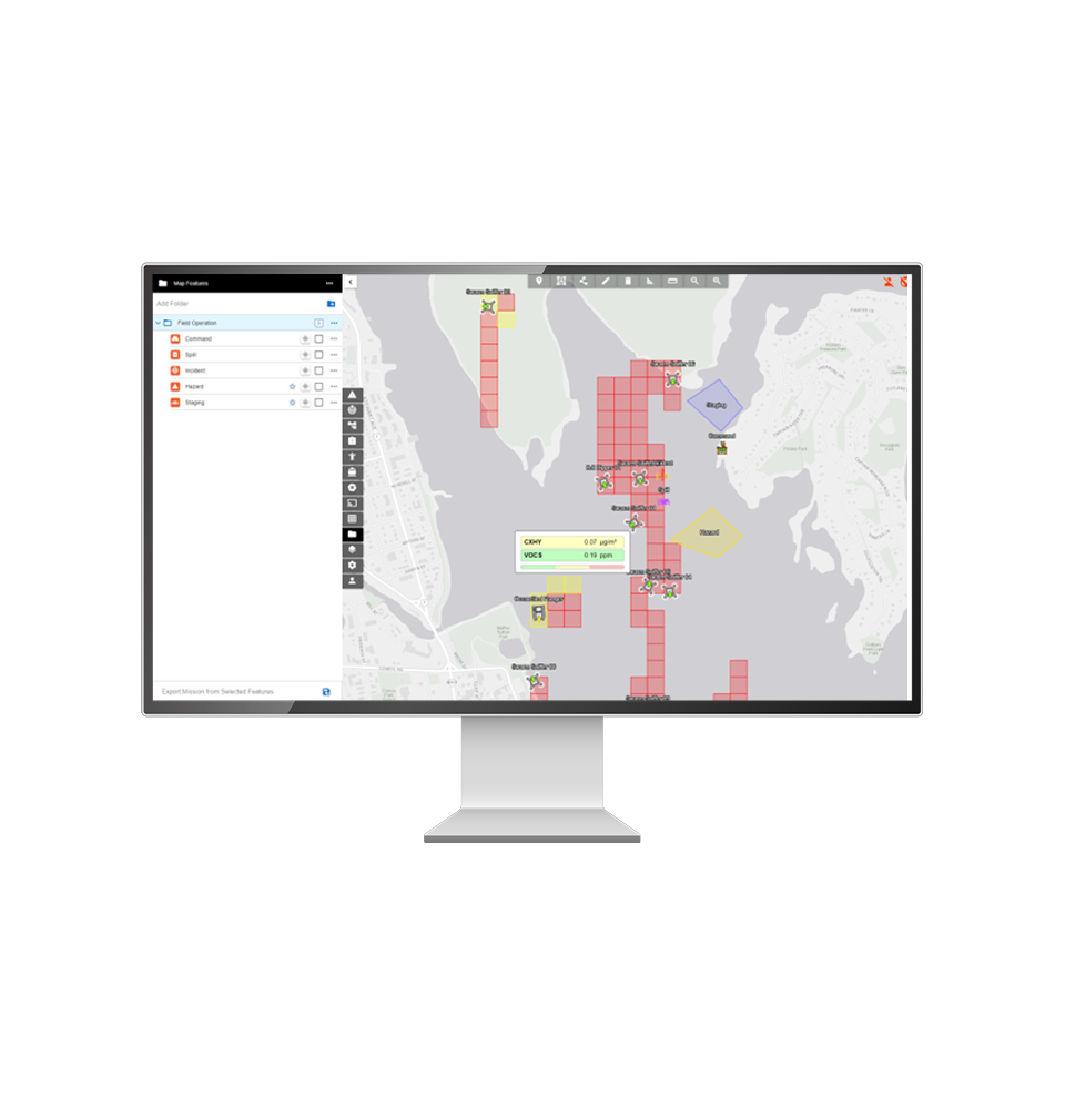
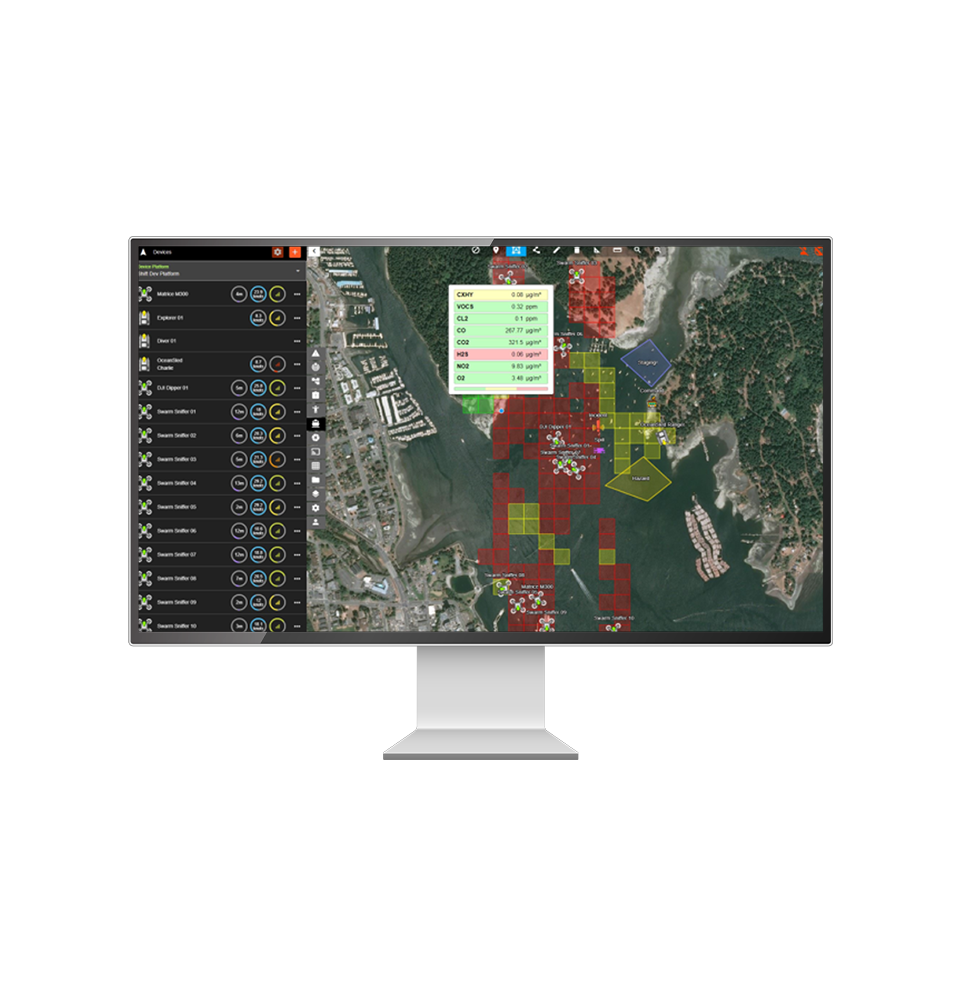
Dashboard

Flexible Common Operating Picture Software for uncrewed maritime operations. The CiMS cloud-based dashboard provides remote visualization of IRI Drone, ROV and USV sensor data in real time. Remote decision makers can share targets and operational requirements with CiMS operators.
Keep everyone informed with local or remote management
APPLICATION
Incident Management
Our software offers modular, platform-agnostic mission planning and communication tools optimized for timely decision-making during maritime emergencies.
APPLICATION
Operational Planning
The system integrates a multitude of real-time data types such as vessel telemetry, live video, and sensor data, allowing for highly adaptable maritime mission execution.
APPLICATION
Operational Integrity
Specially engineered for maritime environments with limited internet connectivity, the software supports variable bitrate video streams and seamless offline data synchronization with the cloud.
Product Features

Data Visualization
Features include real-time telemetry graphs and geospatial sensor grids that provide critical insights for enhancing both personnel safety and operational decision-making.
Data Security
Robust measures like data encryption and secure access controls are implemented. Data sovereignty is emphasized to ensure compliance with both local and international data regulations.

Video Streaming
The platform supports low-latency video streaming from multiple drones and ROVs simultaneously, with the capability to stream to our cloud-based CiMS dashboard for remote monitoring.
Event Monitoring
Geospatial boundaries can be set to confine drone and ROV operations to designated areas. Integrated event monitoring deploys SMS and email notifications for real-time alerts.
