Remote Sensing

Our remote sensing integrations provide high-quality data to quickly comprehend incidents. Enhance your response operations with the multitude of data types, including visual and infrared cameras, air quality sensors, and a water sampling kit. Create a real-time COP (Common Operating Picture) by combining critical information from aerial, surface, and subsea platforms.
Real operations. Real information.
REAL-TIME DATA & VIDEO
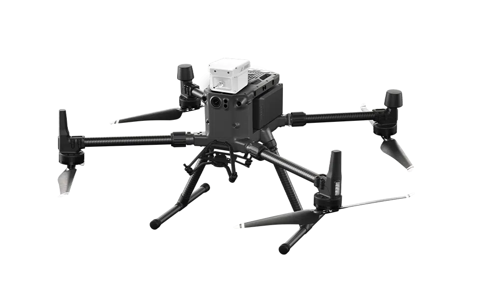
Swiftly identify, analyze, and act using the IRI (Incident Reconnaissance and Intelligence) drone’s real-time video and airborne sensor data.
TESTS AIR & WATER QUALITY
Efficiently acquire water and air samples for prompt delivery to the lab or field-testing center with the IRI drone’s autonomous water sampling kit and air quality equipment.
AVOIDS POSSIBLE HAZARDOUS SITUATIONS
Deploy the IRI Drone for preliminary data gathering before risking your team in potential hazards.
FEATURE
Spill Response
The IRI (Incident Reconnaissance and Intelligence) Drone can be integrated with proprietary Shift Coastal Technologies infrared technology to detect and quantify hydrocarbon and oil spills on water without putting responders at risk. Onboard water and air quality sensors can provide real-time HAZMAT information before deploying personnel.
FEATURE
Water Sampling
With an airborne water collection kit, samples can be retrieved from the surface for rapid delivery to a lab or field test centre for complete analysis and comparison with baseline data.
.
FEATURE
Bilge Water Detection
Advanced camera systems make bilge water detection as easy and cost effective. Data can be shared with authorities as it is gathered.
FEATURE
Search & Rescue
The IRI drone integration has advanced camera system options from ultraviolet to infrared to assist in identifying victims in a variety of conditions. Software allows an operator to send the location of an identified victim, along with an image, to the on-water responders.
Product Specs

ELECTRICAL
| BATTERY POWER | 52.8V (TB60 Battery x 2) |
Sensors & Components
| CAMERA | H20T, Quad-Sensor Thermo Optical |
| PAYLOADS | Air Quality (Real-time) Water Quality |
Physical
| DIMENSION | 87cm x 67cm x 43cm |
| WEIGHT | 6.3kg (base UAV plus H20T) |
| WEATHER PROTECTION | IP45 |
| OPERATING TEMP. | −20°C to 50°C |
| MAX. WIND RESISTANCE | 12m/s |
| MAX. AIRSPEED | 17 m/s / 23 m/s |
| MAX. FLIGHT TIME | 55 minutes |
Are you ready to gather crucial data and act quickly?
Talk to our team to find out how our integrations can elevate your efficiency and data collection.
